|
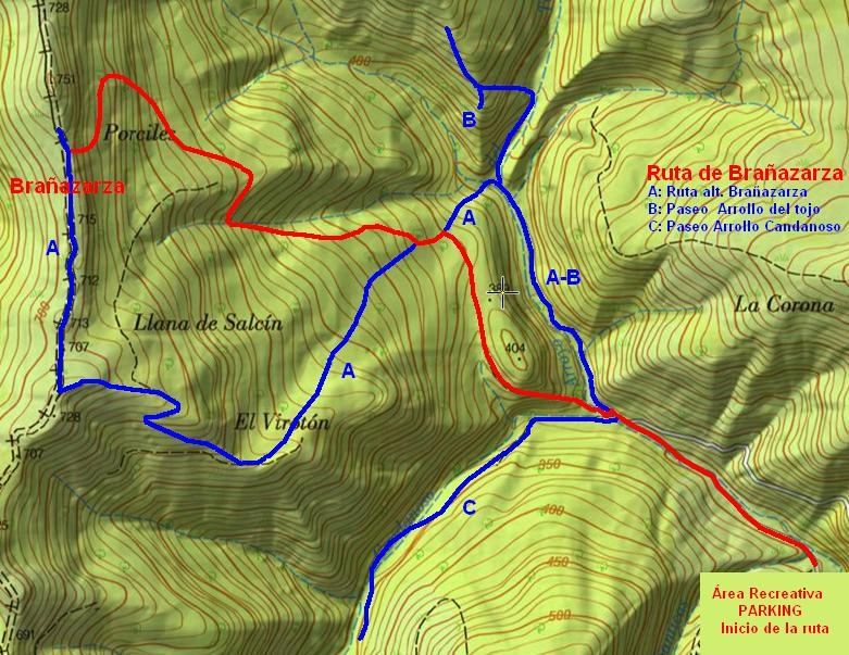
_____________BRAÑAZARZA ROUTE_____________ |
A brane is a meadow where cows usually graze in summer. Brañazarza is one of them and stood at the boundary between the basins of Besaya (east) and the Sakha (west). Its both slopes of the best-preserved forests in the province. The route climbs from the recreational area that is in the head of the valley of Cieza, and winds through the forest interior of Cieza between beech and oak overcoming a height of 400m. The route, despite being marked with signs and red seats (two parallel lines), requires our attention not to mislead. At the end of the tour will be the stone cairns that lead us up out of the forest and arrive at our destination. Hours .....: 2-3 hours approx. (up and down). Period .......: All year (winter or spring may have difficulty crossing the streams) |
|
_______________________LOCATION MAP______________________ |
|
|
|
|
|
______________________________DETAILED DESCRIPTION______________________________ |
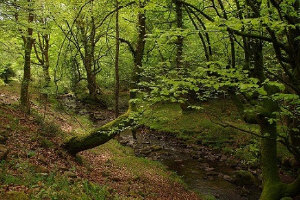
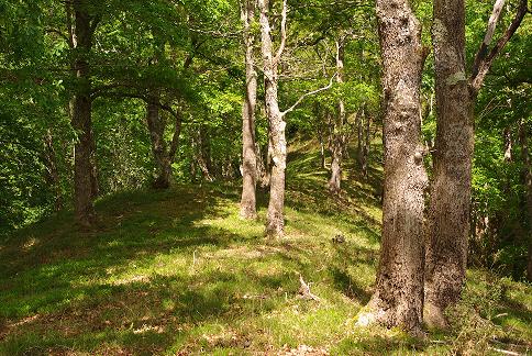
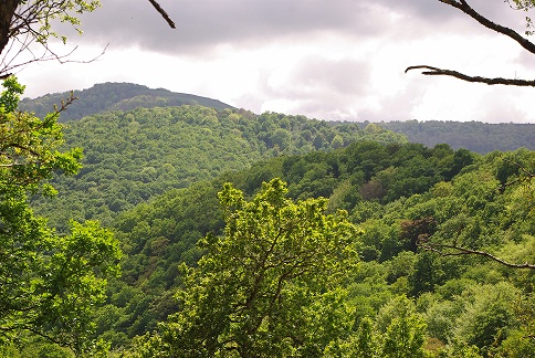
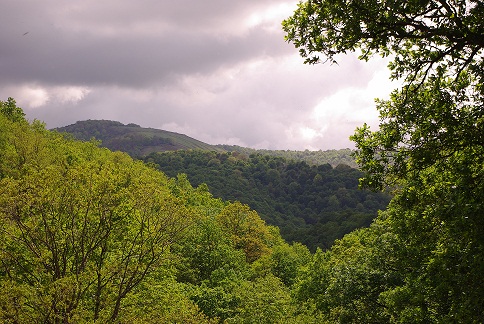
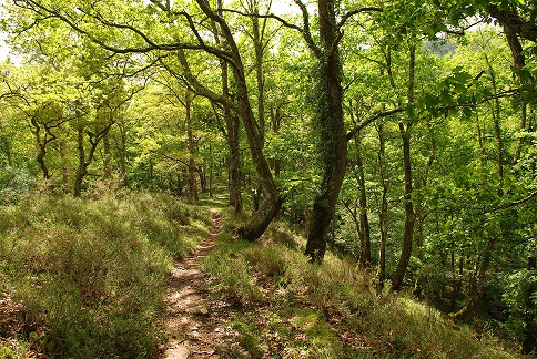
Continue along the main road of the village towards the valley head to, go through the sports and follow the narrow road between meadows and woods. At a sharp bend to the left is a track on the right, in excellent condition and with a sign indicating the path that we must follow, as it continues towards the head of the valley, where there is a recreation area with grills. At the end of which is the parking and traffic ends as it begins nature reserve Saja Besaya. Continue (and walk) along the track until you reach a widening where we find a small wooden bridge to the left, signposted, which crosses the river. After using it to get to the other side, the road climbs a tough slope between gorse, but then goes into the forest, and not abandon it all the way. This is following the path discarding some forks and following the red and white, sometimes very nearly flat slope and others, but always within a majestic deciduous forest that covers all that part with huge specimens, covered with whitish trunks moss in a first order, very little traffic, to reach the same braña, which occupies the watershed between the Besaya and Saja. From here there are stunning views: to the West may be the Picos de Europa, the solid South and East High Campoo whole valley of Cieza. From here it is possible to go down to the West, because in a few hundred meters to arrive Monte Ucieda walking path, and we describe in another route. But to make the crossing would need to have left another vehicle on the other side, to get back. This time go down the same path, or the path "A" marked in blue on the attached sketch. |
|
We also detail several complementary routes, shorter, walking part of the head of the valley of Cieza: |
|
A. - Alternative route both ascent and descent of that described above for Brañazarza: At first go part of the stream of Tojo, to ascend steep slope then, join the normal route to the brane for a while, and separated from it later, leaving and entering the forest to reach the same destination by the South. |
|
B. - short and easy path (40 min.) That shares part of its route with the "A", and then deviates north to ascend along with the stream to a fabulous viewpoint Tojo, in an atmosphere of fabulous forest. It is a walk for all ages. . |
|
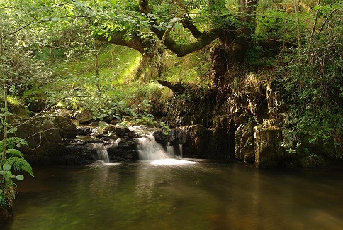
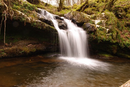
C. - a well-marked path crosses the river Cieza few meters before the bridge of wood used in the route totals Brañazarza, and that goes into the valley of the Candanosa. Shortly after crossing the river meets the Pit Falls, one of the two pools suitable for swimming (The other is a little before reaching the recreational area). It is a deep pot, in a serene atmosphere that promotes fun. If we continue the way we will find countless small waterfalls to our right, many of them worthy of contemplation so secluded place. Occasionally cross the stream, until quite recently lost the way later. Overall a simple walk, also suitable for all ages, where the goal is simply to enjoy the scenery and the senses. |
|
|
|
____________________________________ROUTE MAP_______________________________________ |
|
|
________________________________FOTOS__________________________________ |
|
|
|
|
|
|
|
