
_________MONDABLIZ CIRCULAR ROUTE_______ |
It is a circular route, a certain length. First you descend through a beech forest to the valley, where the stopping place of Mondabliz (now unused), and then move up the Roman road to the semi-abandoned village of Mediaconcha and finish on the hill where we left the car. This route is unpublished, varied entity. A always recommend. Horario.....: Unas 4 horas aprox, según cada cuál. .. Difficulty..: Medium / High. Época.......: All year (in the rainy season the first section can be muddy) |
|
___________________________LOCATION MAP__________________________ |
|
|
|
______________________________DETAILED DESCRIPTION______________________________ |
|
At kilometer 150 of the N611 is the turning Pesquera. Already at the entrance of the village there is a sign indicating access to Mediaconcha Roman road, follow the signs to the end because our route begins just on the southern stretch of Roman road leading from the chapel of Somaconcha to Footer Concha, and which is located just in the aforementioned hermitage. The car we left in the parking lot of the little church, near a beautiful hill overlooking vast pastures. When we get to the hill, before the shrine, we should look at a track in good condition that comes to our left (west) and climbing on a steep revolt, because that is the beginning of the road. |
|
Una vez en la pista mencionada, subiremos las revueltas que nos llevan hacia unas hermosas panorámicas del valle, que se hunde a nuestra derecha. El camino va rodeando un cerro que queda a nuestra izquierda, entre prados venteados, siempre en un ambiente fresco incluso en verano, hasta llegar a un collado. Los últimos 100m nos ha acompañado por nuestra derecha un muro de piedra con avellanos y zarzas, que algo antes de llegar al collado ha girado 90 grados hacia poniente (derecha), describiendo un ángulo. Nosotros continuaremos aún recto hacia el collado unos 50m para después girar y subir a nuestra derecha, buscando el muro y un camino que avanza junto a él. En realidad es una bifurcación del mismo camino por el que hemos venido, así viene en los mapas del IGN, pero las zarzas han borrado parte de su trazado (Punto A, 15 min). |
|
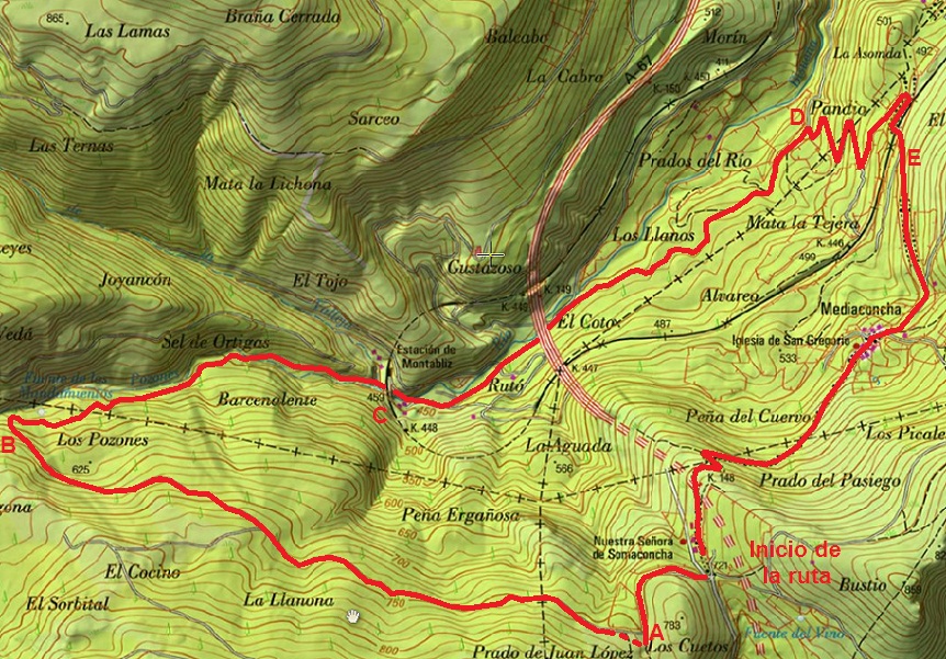
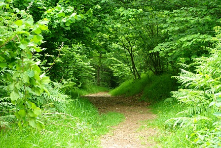
Being in the way it is all very simple, it is for him to continue touring the forest that covers the entire northern side of the massif. Always walk westward, toward the creek Pozones. The track is muddy in the early stages, so we must seek alternative routes above (left) to walk more comfortably, and descends gently through a beautiful beech forest, full of corners, lights and scenery. The place is always fresh for what to wear warm clothes even in summer, if necessary. At first you hear the traffic from the highway that runs right down through a long tunnel, but as we move peace prevails and only hear the sound of birds and the sound of the tops of the huge trees swaying in the wind up there for us. Already something down, and having come a long way ignore a track that goes to the left, and continue to go down until the slope becomes steeper and the road turns sharply to the east, and near the stream of Pozones (Point B, 1h and 40 min), which we will gradually closer to having it just crossing it. Now on the other side the trail continues descending smoothly until we got to the stopping of Mondabliz (Point C, 2h 10min). We passed under the railway tracks and the track is even more walkable, now we are on the bottom of the valley and meadows and trees around us truly enormous. We ignore two tracks off to the right and continue towards the pillars of tremendous motorway viaduct is ahead of us, to the northeast. Once passed and left behind continue along the valley floor in the same direction ignoring another track on the left, after which slowly began to climb up the side of the right leaving the left the river and away from him among low vegetation oak saplings in a clear area regeneration, even appearing on the right track by upheavals in ascending steep slope (Point D, 2 h 40), which will continue. |
|
In five revolts climbed enough run parallel to the railway line, which will cross a bridge later, after a 180 degrees clockwise. At this point connect with the road coming from the chapel where we left the car and running down the Roman road from Mediaconcha (described elsewhere in this guide route) and that from now until the end of our journey will travel clockwise reverse (up) (Point E, 3h and 10 min) |
|
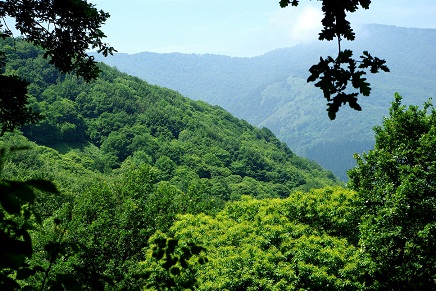
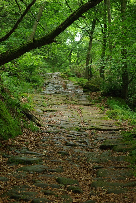
Just past the tracks ignore a track that goes to our right and continue climbing ferns and some oak on the road. It is a well-preserved stretch and slowly climbing first to the semi-abandoned village of Mediaconcha that gives the name and crossing the street "main", and then continue through a shady forest and green with a special charm to the hermitage of Somaconcha, where we left the car (total 4 h maximum). |
|
|
|
______________________ROUTE MAP_______________________ |
 |
|
______________________________________PHOTOS________________________________________ |
|
|
|
|
