______CIRCULAR ROUTE MONTE UCIEDA______ |
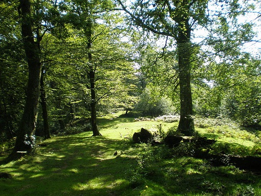
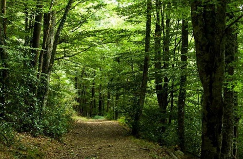
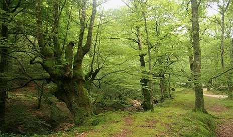
Mount Ucieda is famous throughout the region for being one of the best preserved oak, forming a unique woodland forests Cieza (Brañazarza lies within this forest formation), and both forming part of the reserve and LIC of Sakha Besaya. Forest is spoiled by the authorities (must be the only one), because even we have come to see something as unusual as beech stocking in some areas and clearings. The route runs through the interior of lush forest, becoming very close to the boundary of the basins of Cieza, only 100m distance d. Although it is possible and so is published, a crossing between Cieza and Monte Ucieda (assuming Villasuso of Cieza), here we describe only the path that runs Ucieda. Hours .....: About 3 hours approx as each. Difficulty..: Medium. Period .......: All year |
|
___________________________LOCATION MAP__________________________ |
|
|
|
______________________________DETAILED DESCRIPTION______________________________ |
|
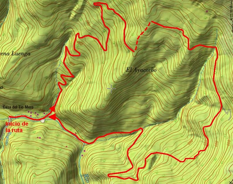
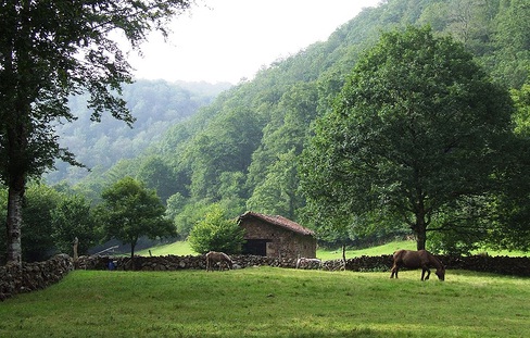
Between km 5 and 6 of the CA-180, there is a detour to Ucieda. After the two districts that make up the village the road continues and enters the valley of Ucieda, and his mount. After passing the third bridge over the river, the road forks, is at that point where we leave the car. |
|
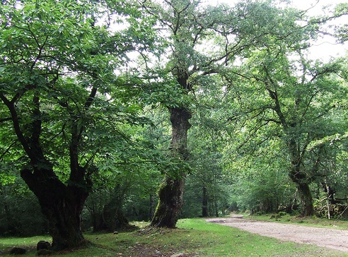
We take the trail that continues straight on the river Ucieda, and will continue until a new bifurcation. We left (around descend by the right) rising steadily between riots and more riots, amid a forest that occupies all, until finally levels off and reaches a kind of viewpoint, is the ayacorbo (Point A, 1h and 15min). Here seems to be lost along the way, is that you go back up to peak, to the left, about 500m, until you find another track that runs above (Point B, 1h and 35min). The follow, moving toward the south (right). The track, often muddy, half slope winds keeping the altitude gained. From here Brañazarza win is a matter of minutes (10 or 15 up to peak), but this time we will continue towards the South, by the way. The forest clarea occasionally, showing the vastness of the forest, and beautiful corners resulting in every compliment. The track descends between turns, losing height steadily to the point A (3h). From there it is back to the car and take with the memory of a lovely walk, lights, shadows and corners that surely we could enjoy. |
|
______________________ROUTE MAP_______________________ |
|
|
|
|
|
|
