______________ROUTE BY RIO ERECIA_____________ |
The route runs along the stunning woodland river valley Erecia for a comfortable fit for track traffic to a point where the slope increases and out the top to the secluded glacial lake. The views are the highlight Besaya. Horario.....:From 3 to 5 hours, depending each (up and down). Difficulty ..: Paseo (Until the end of the track) - Medium / high (to the lake) . Época.......: All year (In winter there may be snow on the top) |
|
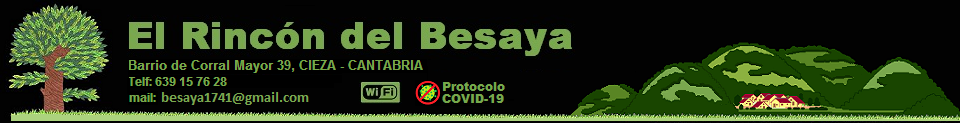
_____________________________LOCATION MAP____________________________ |
|
|
|
______________________________DETAILED DESCRIPTION______________________________ |
|
From Silió follow the road that runs through the valley to its head, first llaneando and then uphill. It goes through a recreational area that is left to right, behind which there is a sharp rise, which extends some time. After approx 1km. comes right track leading down to the river Erecia a very sharp, and just crossing a small bridge, where the right is a building. This is where we leave the car. |
|
From here the route follows the forest road without interruption, into the woods and across the river on several occasions. Occasionally leave tracks in worse shape right and left that will not follow until after more than 4,000 meters, the track turns into a path that winds already steep, accessing the same head of the valley, amid a beech precious to climb first to source the Charco, and later to a brañas where a secluded glacial lake, accompanied by a fold for cattle, more than 1200m above sea level. |
|
Until the end of the forest path is simply a 4km walk and 300m of vertical travel, without further difficulty to appreciate the landscapes that appear before us. From that point you have to have some experience to follow the itinerary, both the slope to climb (400m more) as the floor and guidance. But worth it for the beautiful views that appear before us and discover the fact one of the few vestiges of peri glaciation in the region. |
|
The descent follows the same route, taking extreme caution to avoid falling in the slips uncomfortable walking through the woods to reach the road and then to the track. |
|
|
|
______________________ROUTE MAP_______________________ |
 |
|
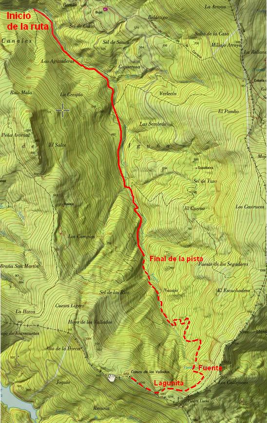
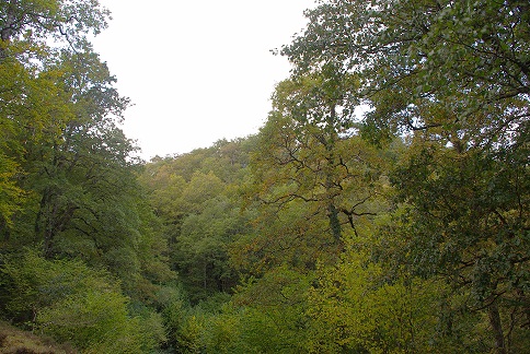
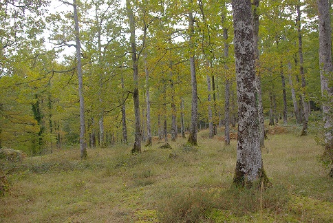
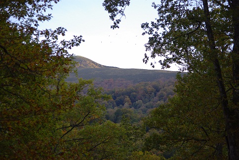
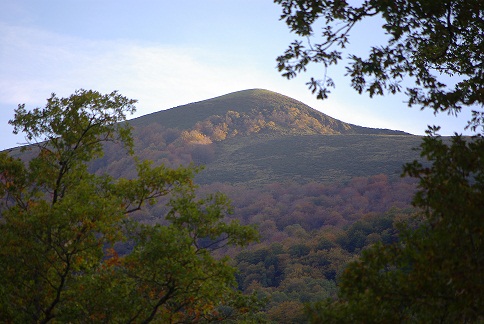
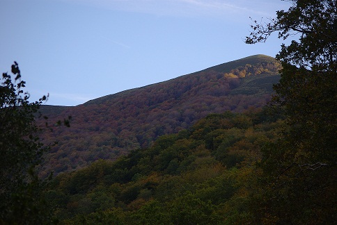
______________________________________PHOTOS________________________________________ |
|
|
|
|
|
|
